During the summer of 20271, I aim to hike all trails noted on the National Geographic map of Isle Royale National Park in a single visit, thereby completing a Minong thorough hike2.
There are two versions of my draft itinerary:
(I seem to have left out East Chickenbone Trail so will incorporate that eventually.)
The paddle out to Passage Island is near the beginning, so that gives everyone who wants to join me for this part a solid arrival date. I will not paddle out to Passage Island solo, and I’d prefer to be accompanied by experienced sea kayakers (yet to be fully identified).
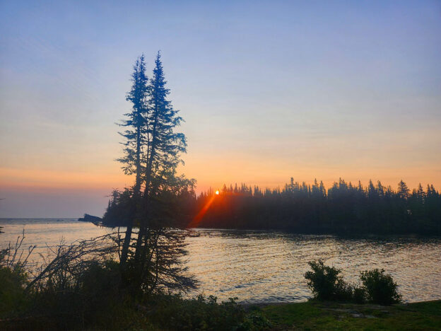
I expect to arrive on June 30, 2027, as the internet tells me that Lake Superior tends to be foggy in June3 and the idea is to avoid the fog.
Companions on the hiking portions are welcome to join me. A day here, a week there—whatever is comfortable for both of us.
Maps The AllTrails version of the itinerary can be reviewed here.
Maps are fun to look at and dream about. It’s a mystery to me why my AllTrails map list can’t be ordered in the way I prefer. There may be a logic to it, but it is not mine. The order in which I plan to undertake this journey is best reflected in the Google Sheets and Docs versions.
- I had originally thought 2025 would be doable. And then 2026, but then I got a new job and hadn’t figured out how to take off several weeks. ↩︎
- backwoods doc of Isle Royale Forums is credited with the “thorough hike” designation, as there is general agreement that one cannot through-hike Isle Royale. ↩︎
- July 1 is not a magic fog-free boundary. ↩︎