Additional thoughts on the trip, in no particular order:
- On wildlife Mergansers and nuthatches, pileated woodpeckers and red squirrels. Always the red squirrels. A couple of late croaky white-throated sparrows.
No moose! Not a single one this visit. Not the first time.
The black-morphed red fox visited my shelter nearly every day, always hoping for food and not shy about approaching me, even after numerous attempts to shoo it away. If it wasn’t the end of the season, I might have reported it. As it was, it was about to lose any easy food sources. - On equipment A couple days in, I pulled out an unopened box of stormproof matches and discovered that they would not light when struck. They did light when lit with a lighter, which rather defeats the point. Weird.
- On weather In late September, one expects cooler weather. Not once during the week did the temperature fall far enough for frost, at least in the vicinity of Rock Harbor.
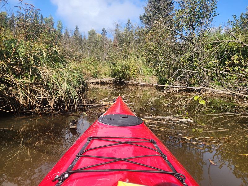
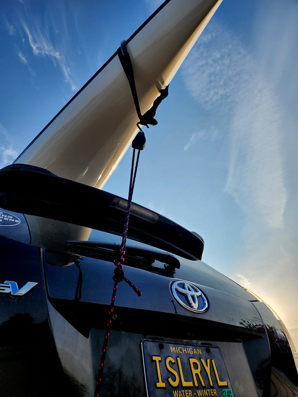
- On sea kayaking I have a lot to learn before 2026, which replaces the 2025 plan, as I need the time for gaining skills and experience. This year I’m aiming for solo self-rescue and as much paddling as possible. Maybe a different kayak.
- On trip notes I took them and then may have tossed them by mistake. So there are fewer details than one might wish, but still likely enough. I did take photos of the weather forecast every day, so those are real rather than misremembered numbers.
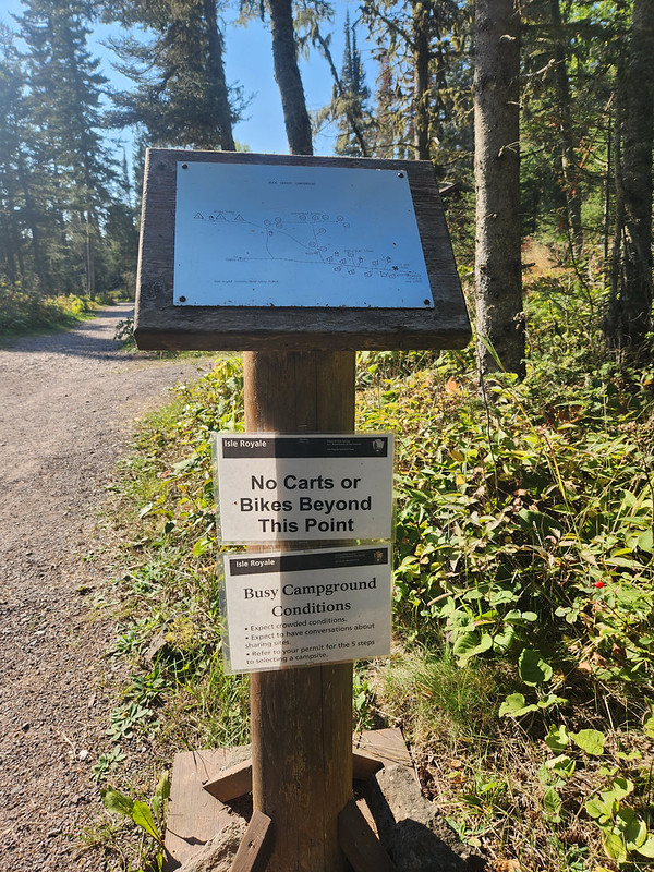
- On wheels A kayak cart would have been totally acceptable for use in moving Kayak between Rock Harbor and Tobin Harbor, as long as I didn’t take Kayak into the campground.